
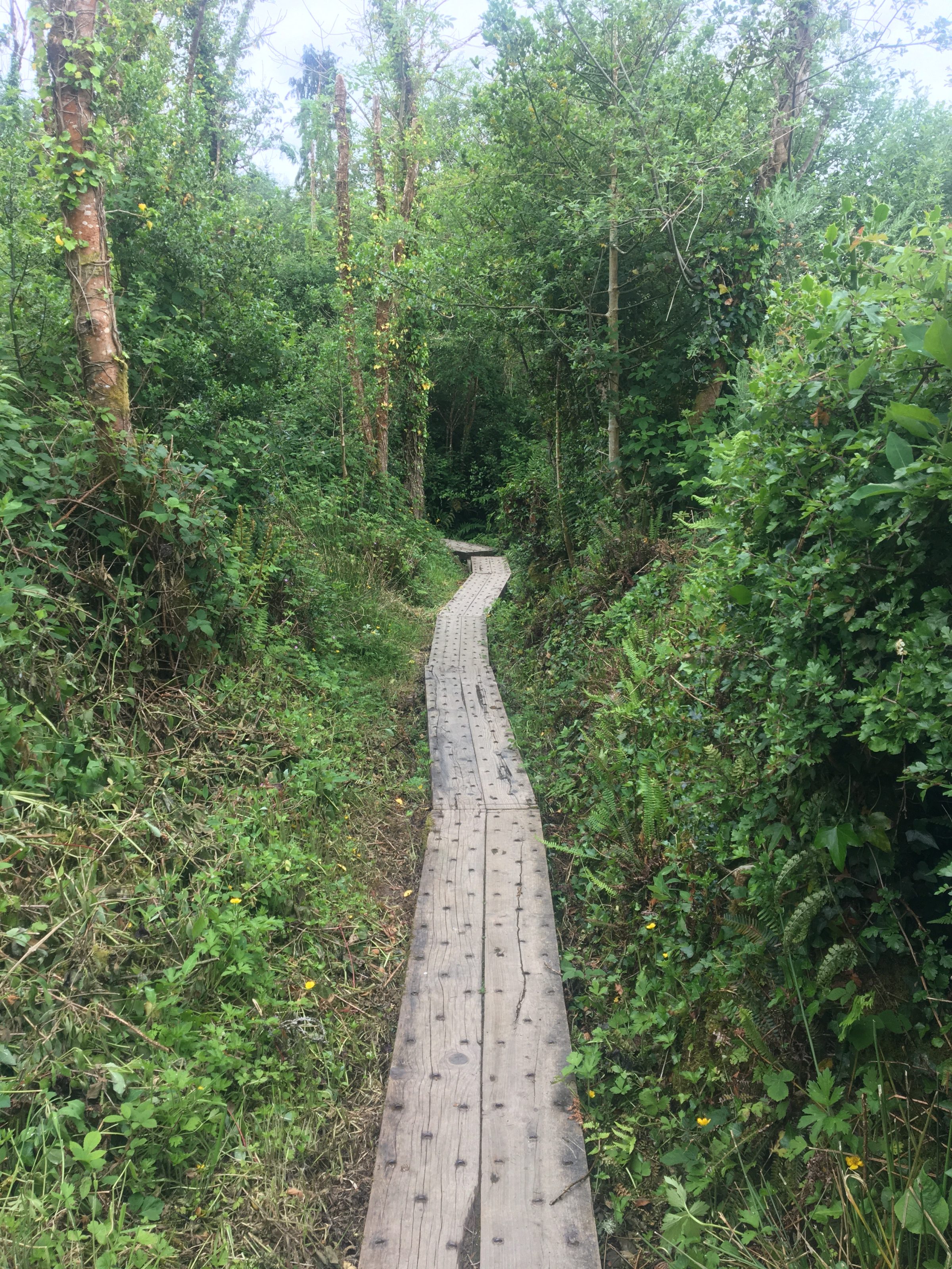
From flat lakeside strolls to rocky Burren paths, there’s good walking in every direction. Here’s what’s close by and what to expect from each one.
LONG-DISTANCE ROUTE
The East Clare Way
A 188 km waymarked route that loops through the hills, loughs and countryside of East Clare. The full circuit takes around 7–9 days, but you can walk individual sections as day walks — the sections around Lough Graney and the Slieve Bernagh hills are particularly good.
The route is well signed throughout and passes through villages with pubs and shops, so you can plan your stops. Mostly on minor roads and old bog tracks, with some rougher hill terrain on the Slieve Bernagh sections.
TOTAL DISTANCE 188 km
SUGGESTED DAYS 7–9
TERRAIN Mixed
WAY MARKED Yes
Day Walks
These are all within easy reach and can be done as a half-day or full-day outing. Distances and grades are approximate — conditions underfoot can vary with the season.

Ballycuggaran Walk
LOUGH DERG · EAST CLARE
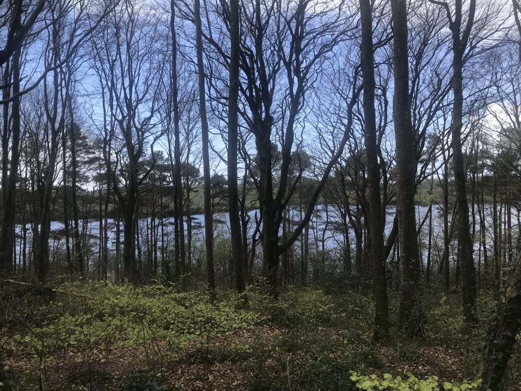
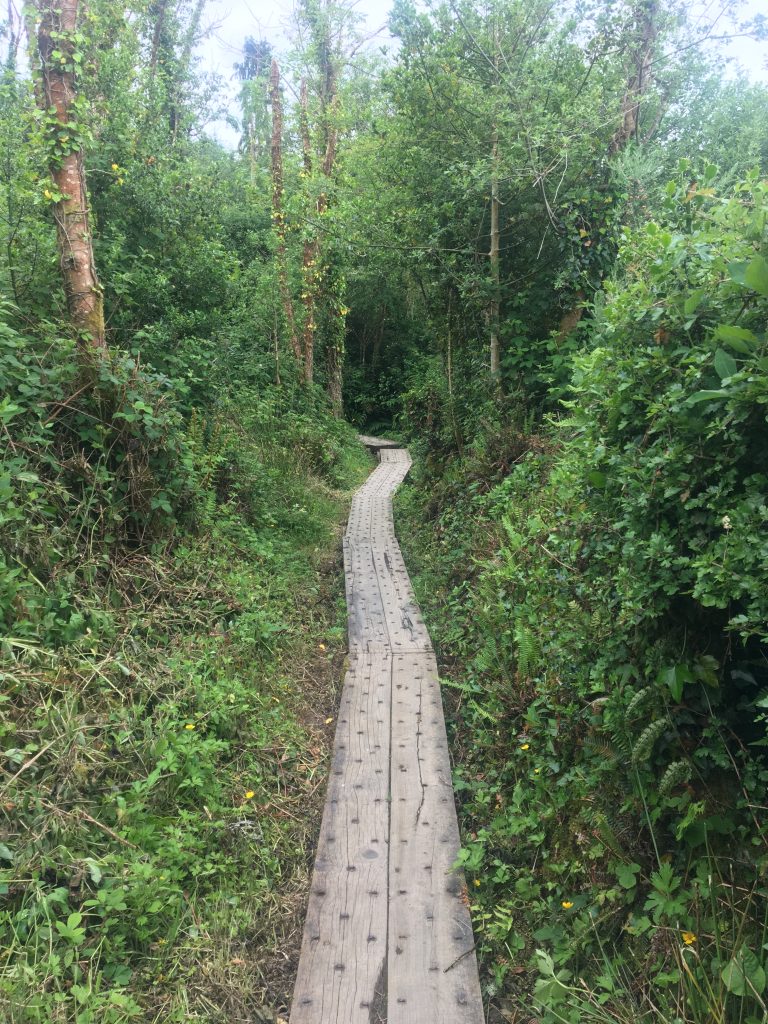
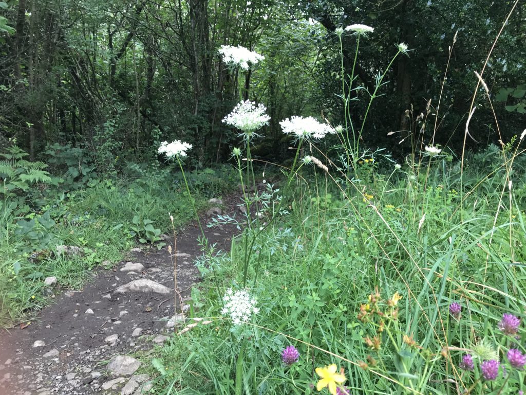
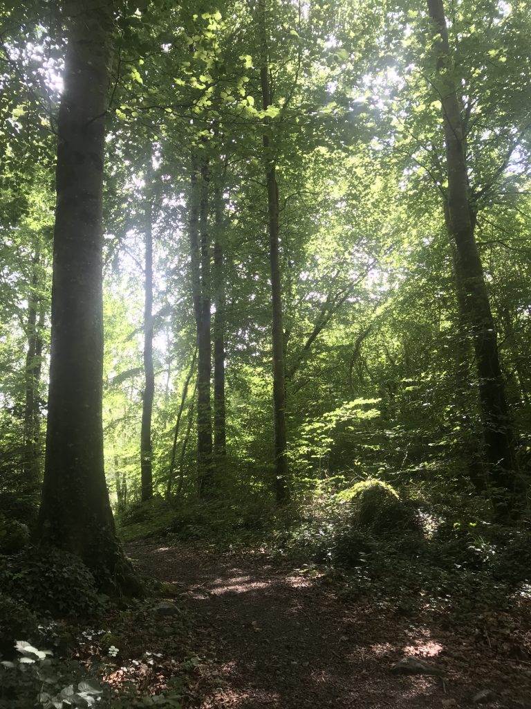
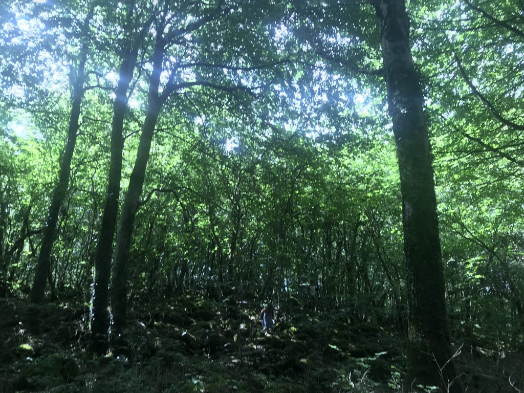
A well-maintained trail along the western shore of Lough Derg, starting near Killaloe. The path runs through mixed woodland with views out over the water. Good underfoot for most of the year, suitable for families. Car parking at the start point.
Easy~5 km * Stunning Lake view *Woodland
Burren Walks
THE BURREN · NORTH CLARE
The Burren offers some of the most distinctive walking in Ireland — open limestone pavement, wildflowers growing in the grikes, and long views in all directions. The Burren Way is a signed 123 km route, but countless shorter loops and tracks cross the plateau. Walking poles help on the uneven surface, and good boots are essential.
ModerateVarious lengthsLimestone karst
Caher Murphy Loop Walk
Near Flagmount Village
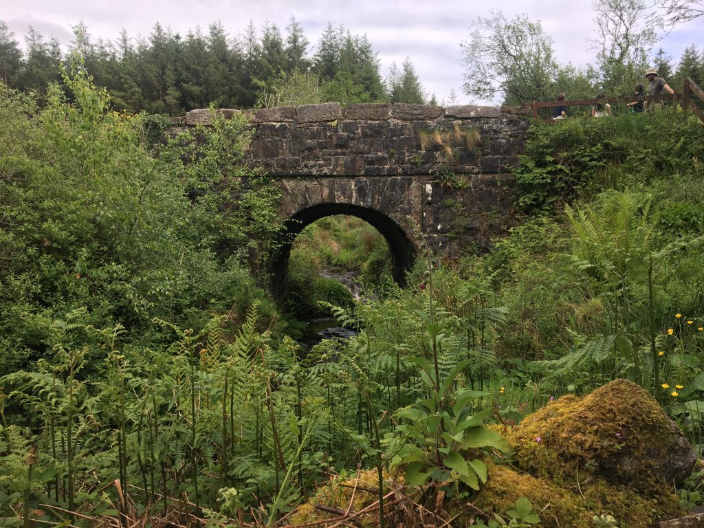
A circular loop walk in the East Clare hills with decent elevation gain and good views from the higher ground. The route takes in a mix of quiet roads, bog tracks and open hillside. Check conditions before heading out in winter — the upper section can be wet and boggy after heavy rain. Part of the walk brings you along the shores of Lough Grainey – a very tranquil lake
Moderate~10–12 kmHillside loop
Dromore Woods
RUAN · MID-CLARE
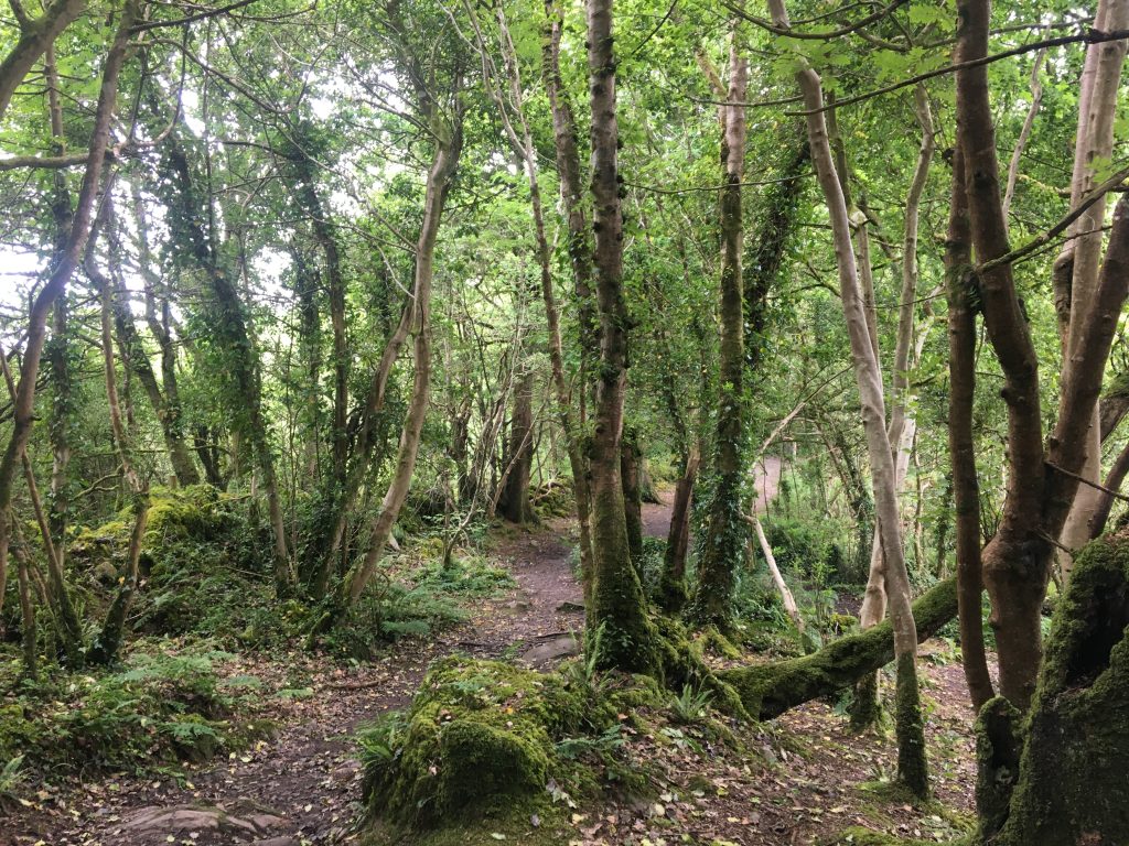
A Coillte-managed nature reserve near Ruan with several marked trails through ancient woodland, alongside the Fergus River and small lakes. Good for birdwatching — the reserve is home to a heronry. The trails are generally flat and well-maintained, making this one of the easier options in the area. The lake here is lovely. Open year-round, free entry.
Easy 3–8 km options * Woodland & lakes
Walk at Fanore
FANORE · NORTH CLARE COAST
Fanore sits where the Burren meets the Atlantic — there’s a good beach walk along the sand dunes, and from there you can head up onto the lower Burren slopes for wider views back over the bay towards the Aran Islands on a clear day. Simple, rewarding, and a good option for all abilities depending on how far you want to go.
Easy to moderate * Beach & dunes
Leaba Dhiarmada agus Ghráinne & Mass Rock
MAGHERABAUN · EAST CLARE
A short walk in the hills above Magherabaun (you can walk from Dronagiri or drive the trail head) brings you to Leaba Dhiarmada agus Ghráinne — a megalithic structure with the mythological association of the Fionn Mac Cumhaill legend. Nearby is a Mass Rock, used for outdoor Catholic worship during the Penal Laws when Mass was forbidden. Both are unassuming spots that reward a bit of effort to reach. Good walking shoes needed. This walk can be quite boggy – so waterproof shoes are advisable.
Moderate * Short * Historical & mythological
The 12 O’Clock Hills
EAST CLARE
The 12 O’Clock Hills are a ridge to the east of the Burren, offering open hillside walking with some of the best views in the county — Lough Derg, the Shannon, the Arra Mountains in Tipperary, and on a clear day, a good stretch of the midlands. The ground can be rough and boggy, so this one is for those with proper boots and a bit of hill-walking experience.
Challenging~8–15 km Open ridgeline
A few things worth knowing
Boots matter
Waterproof boots with ankle support are worth it for any hill or bog walking. Trainers are fine for Dromore Woods and Ballycuggaran.
Weather changes
The west of Ireland weather can shift quickly. Carry a waterproof layer even on fine mornings, especially on exposed routes like the 12 O’Clock Hills or the Burren.
OSI maps
For hill routes, the Ordnance Survey Ireland 1:50,000 Discovery Series sheets cover the area. Sheet 52 covers East Clare. The Burren is on Sheet 51.
Getting there
Most trailheads need a car. We can give you directions and local tips for parking at any of these walks — just ask when you arrive.
Livestock
Some routes cross farmland. Leave gates as you find them, keep dogs on leads near livestock, and stick to marked paths where they exist.
Phone signal
Signal can be patchy in the hills and valleys. Download maps offline before you go if you’re using a phone for navigation.